

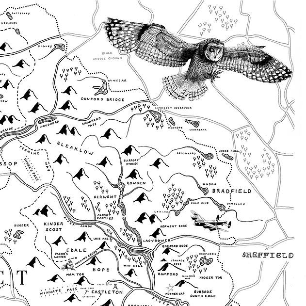
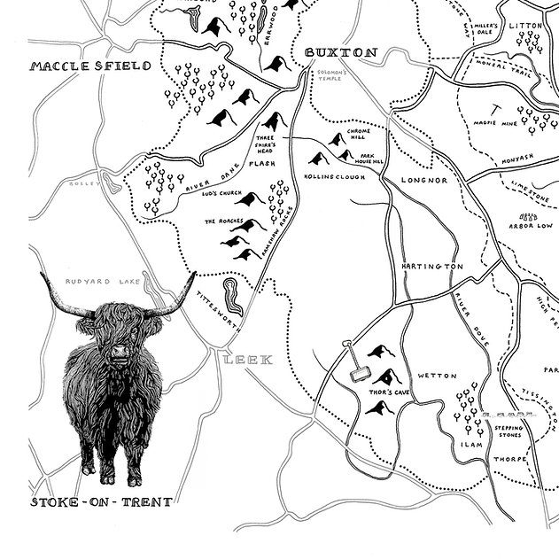
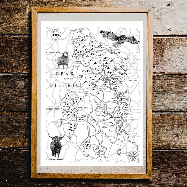
This hand drawn map covers the whole of the national park, The Peak District, contextualised in the area surrounding the park boundary. Key sites from Kinder Scout to Mam Tor, alongside lesser known places can all be found nestled in the mountains and lakes.

The Peak District is one of England’s most beautiful national parks. Steep valleys, moorland plateaus, deep reservoirs and ancient woodland. Endless walking, breath-taking views and cosy corners to enjoy after a hike.
Celebrating the area’s cultural heritage, a Highland Cow and Sheep feature on the map, alongside a Short Eared Owl, one of the many wild animals you may have seen whilst out on your adventure.
- A3: 297 x 420 mm (11.7 x 16.5 in)


